The Buckhorn dam, lake, and campground are located on Route 1387, which begins at the intersection of Routes 28 and 2022 in Buckhorn and ends in the water of Buckhorn Lake a mile away. The 1020-foot long dam rises 162 feet above the original stream bed and was constructed under the direction of the United States Army Corps of Engineers (USACE or “Corps”), Louisville District. Ground was broken for the dam on September 29, 1956 and the dam was dedicated September 10, 1960. The creation of Buckhorn Lake covered portions of highway 28 and displaced the small community of Bowlingtown along with many other homes and cemeteries.
The Corps manages the levels of the lake and times water releases, when reasonable, to benefit recreational areas. The dam serves to reduce flood damage downstream of the dam, such as the disastrous flood of 1957. The summer pool extends 21 mile upstream from the dam. At flood control level, the pool extends an additional 13 miles. From late October to the end of April, water is lowered to the winter pool, which extends only four miles above the dam. Spring rains, indeed all rains, bring hundreds of trees and branches into the lake above the dam, where a boom prevents them from interfering with the spillway under the dam. Although Route 1387 has a boat launch ramp that allows trailer-drawn boats to be lowered into the lake, the accumulated natural trash sometimes makes this impossible. The Corps mitigates this problem by hauling trees and branches ashore and burning them.
A rectangular. reinforced-concrete control tower houses service and emergency gates, slots for emergency closure, and three 5-1/2 by 11-foot vertical-lift sluice gates. Heavier gases, such as carbon dioxide, accumulate at the bottom of the tower, so it must be ventilated before the lower area can be serviced. The tower is closed to visitors, although tours are arranged occasionally.
The Corps also acts to conserve fresh and wildlife resources. Ninety-one fish species have been identified within the watershed. These include lampreys, gars, herrings and shads, mooneyes, trout, pikes, carps and minnows, suckers, bullhead catfishes, killifishes and livebearers, silversides, temperate basses, perches, and darters (Branson and Batch 1984). The lake supports largemouth bass, smallmouth bass, spotted bass, bluegill, channel catfish, black crappie, white crappie, green eared sunfish, and walleye, and it is regularly stocked with muskellunge and trout. There are scores of different birds including water fowls, pileated woodpeckers, turkey, osprey, and eagles.
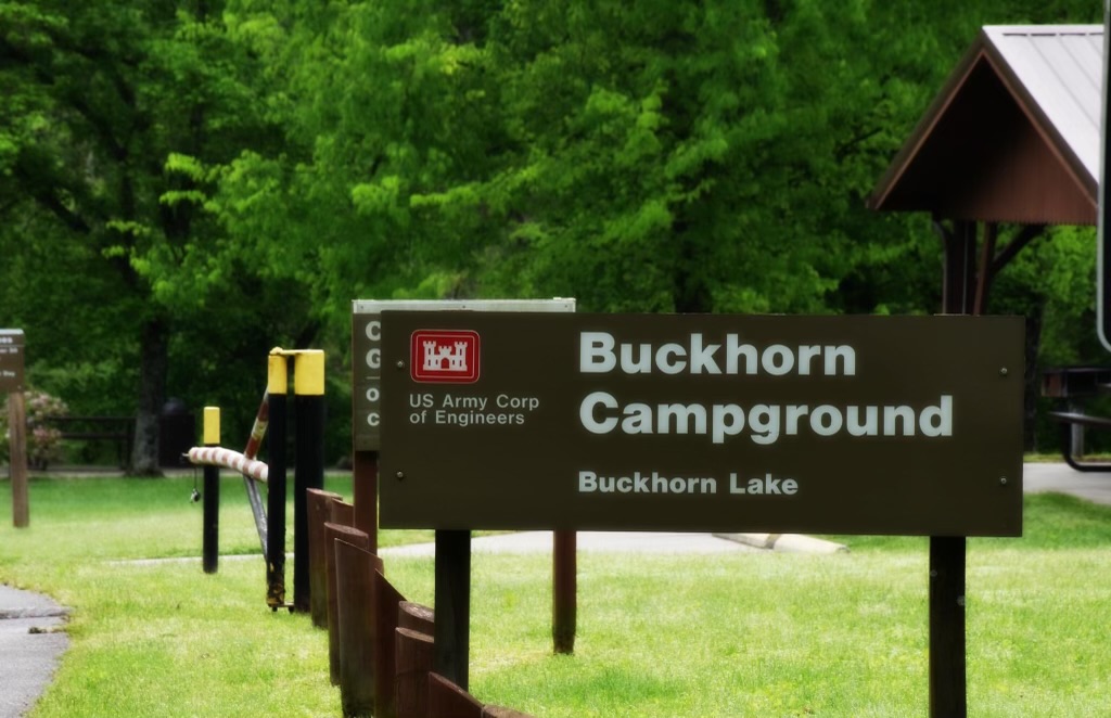
The lake is the primary location for water-related recreation, including camping, hunting, fishing, picnicking, hiking, and bird-watching. Below the dam is the Tailwater recreation area that features a Class A campground with over twenty electric and water campsites, a basketball court, volleyball court, restrooms, shower house, three group picnic shelters, and many individual picnic sites. Fishermen line the spillway and the Kentucky River, as well as Squabble creek, which is as wide as the river where the two come together. During the summer, there is a fishing pier and courtesy dock adjacent to the boat launch ramp, and the two-mile Stillhouse Branch hiking trail climbs the mountainside along the lake.
Much of the above information was taken from: United States Army Corps of Engineers, Louisville District. Buckhorn Lake Draft Master Plan with Integrated Environmental Assessment. 2023